Walking the Pennine Way
Paddy Dillon
- 22 april 2025
- 9781787650985
Samenvatting:
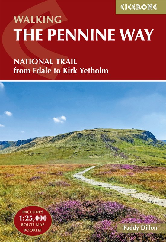
Explore England's iconic Pennine Way National Trail, a formidable 426km (265-mile) route along the spine of northern England from Edale in the Peak District to Kirk Yetholm in the Scottish Borders, crossing three national parks (Peak District, Yorkshire Dales and Northumberland) plus the North Pennines National Landscape. This challenging classic for fit, experienced walkers traces high exposed moorlands, rugged fells, and dramatic landmarks such as Kinder Scout, Malham Cove, High Cup, Cross Fell, and Hadrian’s Wall.
This trusted Cicerone guidebook by expert author Paddy Dillon provides everything you need to walk the Pennine Way with confidence. The trail is described from south to north in 20 stages of 11–32km (7–20miles) and typically takes around three weeks to complete. A separate OS 1:25,000 map booklet shows the full route line, making navigation straightforward even across the exposed moorlands.
- Each stage has a detailed route description alongside OS mapping and elevation profiles, so you always know what's ahead on the ‘backbone of England’
- A comprehensive stage facilities planner gives vital information on accommodation (hostels, B&Bs, hotels and campsites) and other facilities along the route in key towns and villages such as Malham, Hawes and Dufton
- Practical planning advice is included on when to go, what to take and how to tackle the particular challenges of the boggy, wild moorland characteristic of this trail
- Alongside the map booklet, downloadable GPX files provide a digital navigation option for the entire Pennine Way for use on smartphones and GPS devices
- Background on Pennine geology, scenery (Helm Wind, Brontë Country), wildlife, and plant life enriches your journey through Stoodley Pike and the Cheviot Hills
Walking one of Britain's original and toughest National Trails is a true test of endurance and resilience, taking you through England’s wild heartlands and upland beauty. With this Cicerone guidebook as your companion, you’ll have the detailed maps, stage planning tools, and expert guidance you need to tackle the Pennine Way.