The Cotswold Way
Kev Reynolds
- 22 januari 2026
- 9781787650404
Samenvatting:
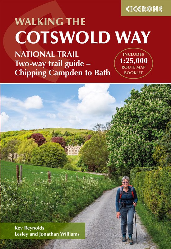
Discover the rolling hills, limestone villages and sweeping escarpment views of the Cotswold Way National Trail, one of England’s most scenic and enjoyable long-distance walks. Stretching for 163 km (102 miles) from the market town of Chipping Campden to the World Heritage city of Bath, the route follows the western edge of the Cotswolds National Landscape, combining peaceful countryside with historic towns and villages.
This classic two-week walk is ideal for those new to long-distance walking as well as more experienced hikers looking for a well-waymarked and rewarding trail. Along the way, you will pass highlights such as Broadway Tower, Winchcombe, Painswick Valley and the dramatic descent into Bath, with far-reaching views across the Severn Vale and rich pastoral landscapes throughout.
The guidebook divides the route into 14 manageable stages, with clear descriptions walking north to south and an abbreviated set of directions for those walking south to north. A separate, pocket-sized map booklet with detailed 1:25,000 Ordnance Survey maps provides reliable navigation at every stage of the journey.
- 14 stage-by-stage route descriptions covering the full Cotswold Way
- Clear, step-by-step directions supported by detailed maps and downloadable GPX files for the route from Chipping Campden to Bath
- Each stage includes distance, estimated walking time, ascent and descent, and an overview of the terrain of the Cotswold National Landscape
- Separate pocket-sized map booklet with 1:25,000 Ordnance Survey maps for accurate navigation for the entire National Trail
- Handy facilities planner highlighting services, refreshments, and public transport along the route
- Full accommodation listings to help you plan overnight stops in villages and towns, including in key centres like Cheltenham, Gloucester and Stroud
Plan your Cotswold Way adventure with confidence and enjoy one of England’s most characterful National Trails with this definitive guidebook and map set.