
Coastal Navigation
Dominique F Prinet
- 09 januari 2017
- 9781525503115
Samenvatting:
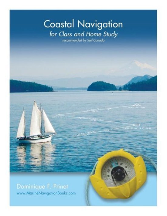
Coastal Navigation for Class and Home Study is based on the notes prepared for students by the author during some 20 years of teaching navigation, initially to private or commercial pilots, and then to sailors and professional mariners.The book is copiously illustrated with graphics which explain chart projections, scales and symbols, and describe lights and other navigation aids. It demystifies the True, Magnetic and Compass Norths as well as problems of time, speed and distances, and explains how to plot courses and take bearings, or draw regular and advanced Lines of Position using the international system of labeling.The book further clarifies the use of vectors to easily determine the impact of a current on the boat speed and direction, and goes on to show how to evaluate tides and currents. The final sections describe the use of GPS and electronic charts, highlighting their limitations. Additional notes and explanations are given in the areas where students traditionally experience difficulties, as well as supplementary examples and exercises.The companion book, Coastal Navigation Exercises, offers all the exercises needed for practice.