West Highland Way
Charlie Loram
- 01 september 2010
- 9781905864294
Samenvatting:
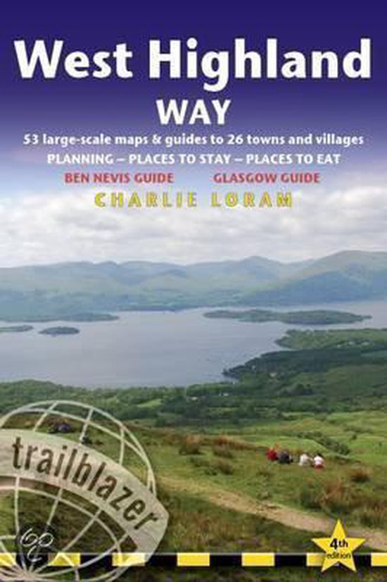
Fully revised second edition of the first of Trailblazer's 10-title series of British Walking Guides. The West Highland Way is the most popular long-distance path in the country, passing through some of the most spectacular scenery in all of Britain. From the outskirts of Glasgow it winds for 95 miles along the wooded banks of Loch Lomond, across the wilderness of Rannoch Moor, over the mountains above Glencoe to a dramatic finish at the foot of Ben Nevis – Britain's highest mountain.
· 5 town plans and 48 large-scale walking maps – at just under 1:20,000 – showing route times, places to stay, places to eat, points of interest and much more. These are not general-purpose maps but fully-edited maps drawn by walkers for walkers.
·
· Itineraries for all walkers – whether walking the route in its entirety over a week to 10 days or sampling the highlights on day walks and short breaks
·
· Practical information for all budgets – camping, bunkhouses, hostels, B&Bs, pubs and hotels; Glasgow through to Fort William – where to stay, where to eat, what to see, plus detailed street plans
·
· Comprehensive public transport information – for all access points on the West Highland Way
·
· Climb Ben Nevis – route descriptions to the top of Britain's highest mountain and other peaks
·
· Flora and fauna – four page full color flower guide, plus an illustrated section on local wildlife
·
· Green hiking – understanding the local environment and minimizing our impact on it