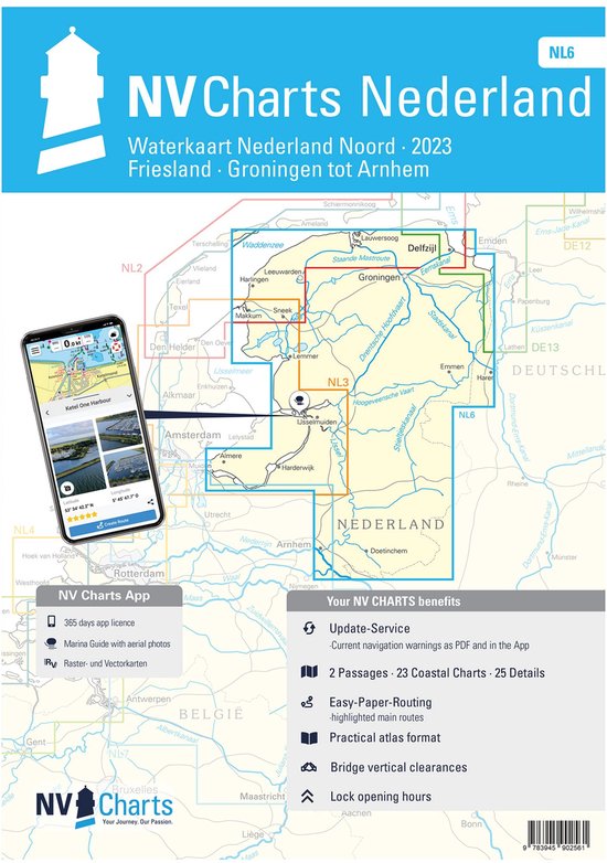
NV.Atlas NL6 - Friesland-Groningen tot Arnhem
- 9783945902561
Samenvatting:
Format: Papier, digital download und AppThis atlas covers the regions of Friesland, Groningen, Drenthe and Overijssel and extends as far as the Rhine near Arnhem. In the west there is a seamless connection to the Ijsselmeer coverage of nv charts NV NL3 while in the north the charts NV NL2 Waddenzee and NV DE13 Ems und Ostfriesland connect. The Staande Mastroute to the Ijsselmeer is included.
€ 64,99
Bestel bij Bol.com >